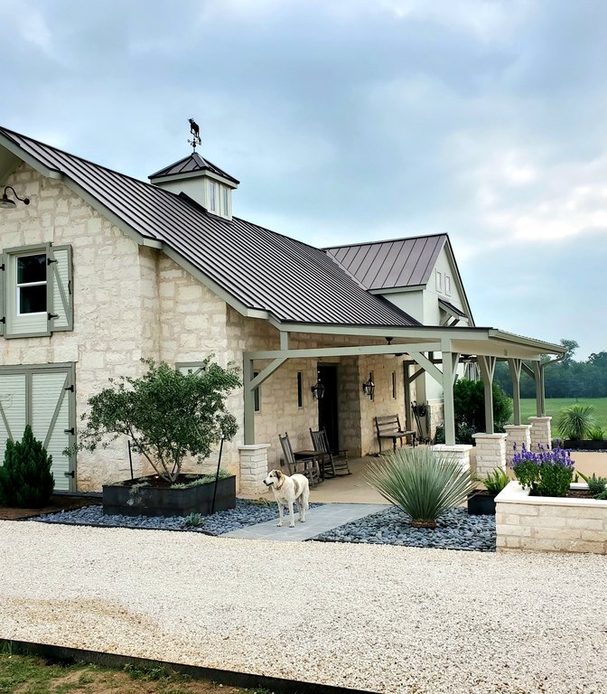
Landscape Site Planning in Austin, TX
Thrive Landscape and Design arranges the house, drive, septic, utilities, grading, and outdoor zones on your parcel before the slab is poured. Site planning is the upstream work that keeps the landscape from being an afterthought on Austin custom builds and Hill Country lots.
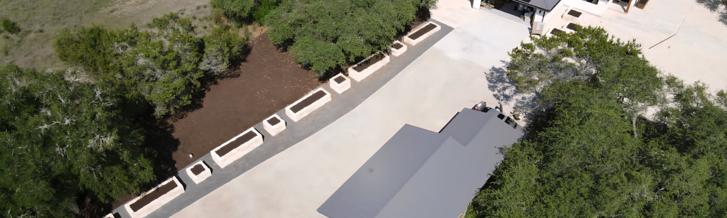
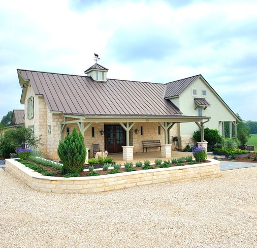
Site planning is the first move on any custom build, addition, casita, or empty Hill Country lot. Before architecture, before the foundation, before a single tree is touched, we map what the parcel can and cannot do. That includes where the house sits, how the driveway approaches, where the septic field and well go, which trees stay, how stormwater leaves the property, and how outdoor zones connect to each other. On a sloped Dripping Springs lot or a constrained Westlake infill, those decisions decide whether the project flows or stalls.
We work upstream of the architect and builder, not after them. On parcels over the Edwards Aquifer Recharge Zone west of MoPac and across western Travis County, our site plan tracks impervious cover from the first sketch so the project does not exceed coverage caps at permit. Inside Austin city limits we identify every heritage tree (19" DBH for protected species under the City of Austin tree ordinance) and draw its critical root zone so the foundation, drive, and utility trenches respect it. See all our landscape design services for the bigger picture this work fits into.
Start Site Planning
- 500+ Projects Completed
- 19+ Years Experience
- 5/5 Average Rating
Related Landscape Design Services
Landscape Architecture
Engineered grading, drainage, and retaining wall plans that turn a tough Austin slope into usable, buildable ground.
Learn More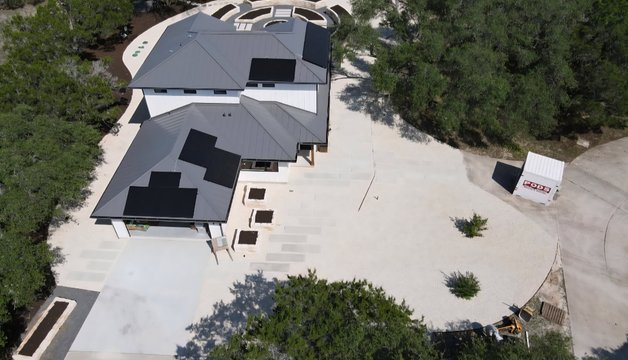
3D Design
Photo-real 3D renderings built off the site plan so you can see the finished layout before construction starts.
Learn More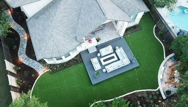
Backyard Design
Once the site plan is set, we design the backyard layout: patios, shade, planting, and flow from the house out.
Learn MoreAll Landscape Design Services
Browse our complete landscape design offering, from consultation and site planning through master plans and full installation.
Learn More


Our Site Planning Process
Survey & Inventory
We start with your boundary and topographic survey, then walk the parcel to inventory what is there. That includes heritage and significant trees with DBH and critical root zone measurements, existing drainage patterns, soil and rock conditions, the viewshed, neighboring structures, and any existing utilities or septic. By the end we have a layered base map that every planning decision will sit on top of.
Constraints & Opportunities
Next we overlay the rules and realities on the base map. Edwards Aquifer Recharge Zone impervious cover caps, City of Austin heritage tree protections, Travis County drainage and floodplain limits, HOA setbacks, septic field requirements, and wildfire defensible space for WUI areas. We also flag the opportunities, such as the spot where the house should sit for the long Hill Country view or where the drive can curve to save a 40-inch live oak.
Layout Options
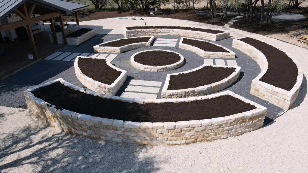
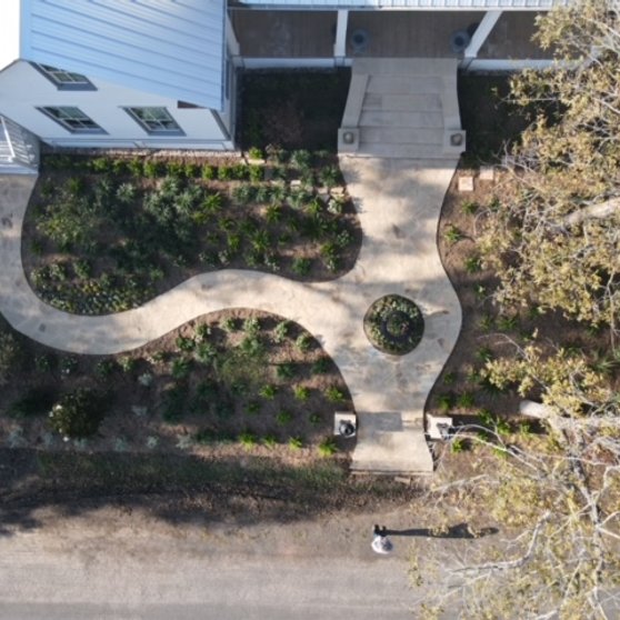
We draw two or three layout options that arrange the house, drive, garage, septic field, well, future casita or workshop, pool pad, and outdoor zones differently. Each option has tradeoffs we explain in plain language: viewshed versus solar orientation, drive cost versus tree preservation, future expansion versus impervious cover budget. You pick the direction that matches how you want to live on the land.
Final Site Plan
The chosen option is drawn up as a scaled final site plan with grading and drainage notes, tree protection fencing, impervious cover tally, utility routing, and outdoor zone designations. This is the document we hand to your architect, builder, and civil engineer so everyone is building from the same page. We stay involved through permitting and construction to make sure the plan survives the build.
Site Planning Built For The Land
Travis, Luis and the crew did an amazing job on our front yard landscaping. Travis had a vision that we could've never come up with on our own. They were communicative, hard working and had incredible attention to detail. We were really impressed with our experience and will… Read more

We’ve been very impressed with Travis and his team at Thrive Landscaping. From the initial design consultation through revisions and installation, the entire process was smooth, thorough, and high quality. We needed an HOA-compliant design that improved drainage and reduced… Read more
Travis was very responsive on the pricing . Luis and the crew did an amazing job and fixed a lot of problems that the prior firm had created. Very pleasant group and seem to want to please clients.
Great people providing outstanding service. Our yard has never looked better. And best of all, they stand behind their work. If something needs attention after the job is finished, they’re right on it.
After interviewing several companies, we chose Thrive Landscape to create some hardscaping for our back yard. They installed stone paving for our patio and pool area, a gravel area for our fire ring, and a raised gravel pad for a greenhouse. Everything looks great! We had a good… Read more
Thrive replaced some dying plants in a white rock bed and left it clean and beautiful. You would never know they had been in the rock bed at all - no dirt, no disruption - they left it better than they found it!
Our neighbor a few houses down had Thrive do his property and we liked how it looked, so we decided to contact them to see what it would cost to do our house. Wanted to get rid of the sand burrs and decided to do stone, rock and mulch for the whole yard in front of the house. I… Read more
We have used Thrive landscape for several projects over the past two years. They have delivered outstanding service, careful attention to detail, and impeccable service and care after the project was complete. Travis Odom is outstanding, and his vision helped us transform our… Read more
We were very pleased with Thrive from the initial bid to the completion of the project. We had our front yard and backyard landscaped. Communication was excellent and when a couple issues occurred they were quickly resolved. The onsite crew was great to work with and were… Read more
Excellent service and advice. Knowledgeable, on time, communicative owner, and crew. This is the place you want to call for your landscaping needs! We are extremely satisfied with the outcome and will use the service again. Thank you Travis and crew.
I was really pleased with Thrive. Travis arrived exactly on time for the quote, had a great design, and was able to start quickly once the plans were approved by my HOA. The crew was polite and worked quickly. They left the whole worksite very neat, and my front yard now looks… Read more
Had grass that was dead, Travis and his team transformed my backyard in a few days!
I am a repeat customer of Travis's. He recently transformed my front yard. The design was perfect for what we wanted to accomplish and the crew did high quality work which included clean-up. I will keep coming back to him in the future.
Thrive is a very professional and excellent business - they did a wonderful job on my project and I couldn't be more pleased with the end results. Will definitely use them again!
I had an outstanding experience with Thrive. Quality, honesty, value and customer service were phenomenal! Exceeded my expectations!
Swapped out black stone that were killing my plants with mulch. Added a bunch of plants and sod. Also got my irrigation and stone walkway complete. I say it is all looking great.
I don't know where to begin. Travis and his team provided an amazing landscape design, strategy, and results on our backyard for my 50th birthday celebration. Travis was patient and very detailed with his quote and made sure he covered every detail with me. Once we decided to… Read more
I’ve done two projects with these guys to include a landscaping project where I added sod, metal planters, and plants. The second was a fence repair and both turned out great. They were fairly priced, scheduled quickly, executed on time, and worked through my lunch list at the… Read more
We chose Thrive Landscaping after a friend of ours used them for their own backyard and we could not be happier with our decision. Travis and team were incredibly professional, thorough and communicative the entire time. They added new grass, flowers, gravel and lights to our… Read more
Travis with Thrive Landscape & Design did an amazing job redesigning our backyard! They were hard-working, timely, responsive and appreciated their craftsmanship they put into the project. The space looks better than we imagined — highly recommend!
Wow! Travis and his team did an amazing job refreshing our back yard! They were professional, prompt, respectful and above all had an eye for detail! It was an absolute pleasure working with them to create our dream back yard! I highly recommend Thrive Landscape and DESIGN… Read more
Our project was the tear-out, re-design and rebuild of a fairly substantial deck. Great experience with Travis Odom and Thrive Landscape. Travis is congenial, professional and great to work with. The guys on site did excellent work. We’re very happy with the finished product and… Read more
Mr Travis Odom made an excellent, unique, and original cedar fence design that we ended up using.
Great design and construction for my landscaping project. Travis and his crew were very attentive and detailed. They also took on board our feedback and we’re very willing to evolve their designs.
Travis did a great job fixing the drainage along the side of my house! Was very responsive, timely, and reasonably priced. Would reach out to again for any future landscaping needs.
Travis was very responsive and did an excellent job designing our difficult yard. We LOVE the end result and can’t wait to do phase two. Can’t say enough how happy we are with the design!
Signs You Need Site Planning
Empty Lots, New Builds, and Major Site Constraints
Most landscape failures on a new build trace back to a decision that should have been made before the foundation. Site planning is how you avoid that, especially on Hill Country parcels where slope, trees, septic, and recharge zone rules all collide.
Request A QuoteParcels in Dripping Springs, Driftwood, Wimberley, Spicewood, and Lago Vista come with their own puzzle: house placement, drive approach, septic field, well, viewshed, and tree preservation all need to be solved together. Site planning is how you avoid putting the foundation in the wrong spot.
Additions look simple until you check setbacks, impervious cover budget, and root zones of mature trees. A focused site plan tells you what fits, what does not, and how to phase utilities so Phase 1 does not block Phase 2.
Austin clay swells and shrinks with moisture, and water moving toward the slab is a problem that gets worse, not better. A site plan re-grades the parcel for positive drainage and routes stormwater the way the land actually wants to send it.
Why Choose Thrive Landscape and Design?
We Sit at the Architect’s Table
We coordinate with your architect, builder, and civil engineer from the first concept meeting so the landscape, drive, and drainage are not retrofitted at the end.
Heritage Tree & CRZ Protection
We measure DBH, draw critical root zones, and arrange foundations and trenches to respect heritage live oaks under the City of Austin tree ordinance.
Recharge Zone & Impervious Cover
For parcels west of MoPac over the Edwards Aquifer Recharge Zone, we track impervious cover from concept so the project clears Austin Watershed Protection review.
Wildfire Defensible Space Built In
For WUI parcels in Lago Vista, Spicewood, and other wildfire-prone zones, we orient structures and clearings around Texas A&M Forest Service Firewise defensible space principles.
Site Planning Across Greater Austin & The Hill Country
We plan sites across Travis, Williamson, and Hays counties, with a heavy focus on Hill Country parcels in Dripping Springs, Driftwood, Wimberley, Spicewood, and Lago Vista. We coordinate with Austin Watershed Protection on Edwards Aquifer recharge zone properties and with Travis County on floodplain-adjacent parcels.
- Lakeway
- Driftwood
- Westlake Hills
- Round Rock
- Lake Point
- Bee Cave
- Dripping Springs
- Spicewood
- Wimberley
- Lago Vista
- Cedar Park
- & more
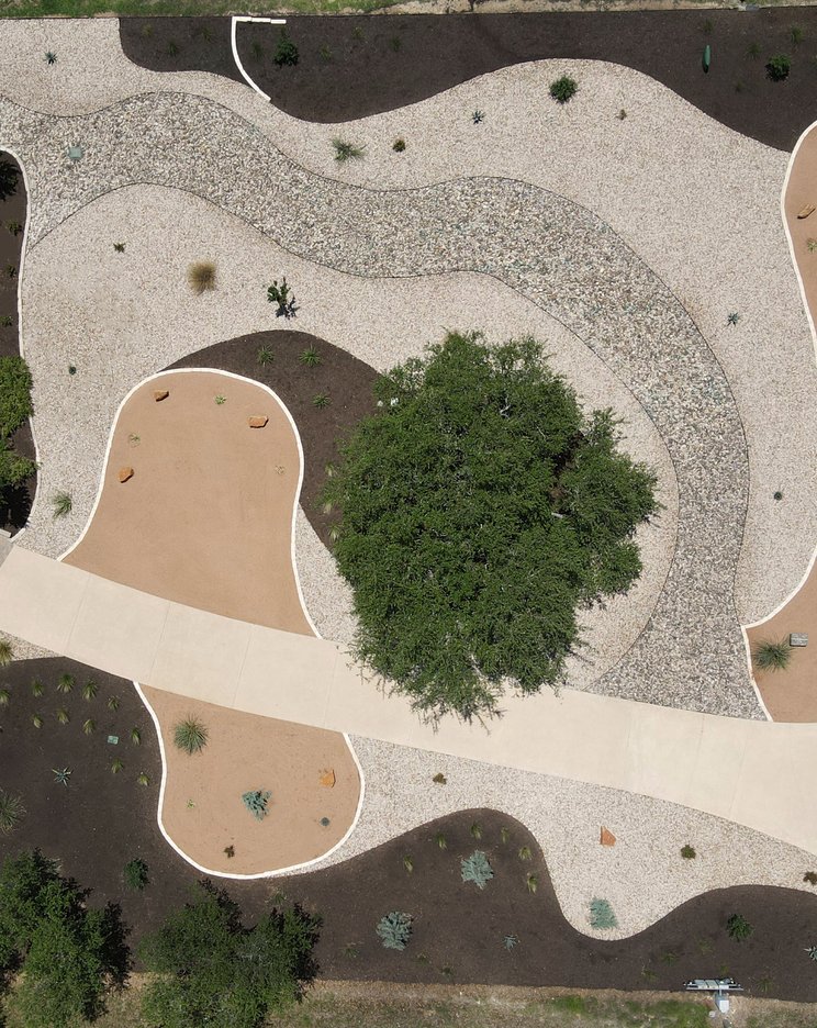
 Dripping Springs Hill Country Xeriscape
 Spicewood Front Xeriscape
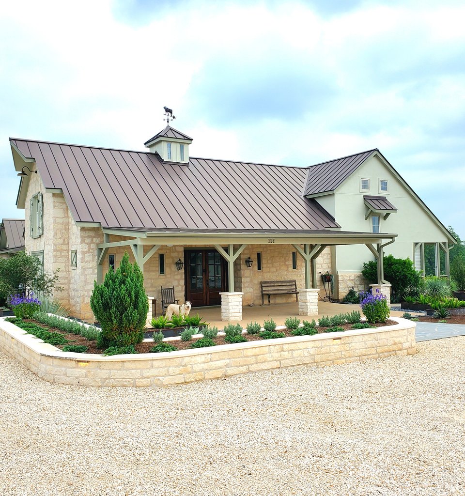 Smithville Ranch
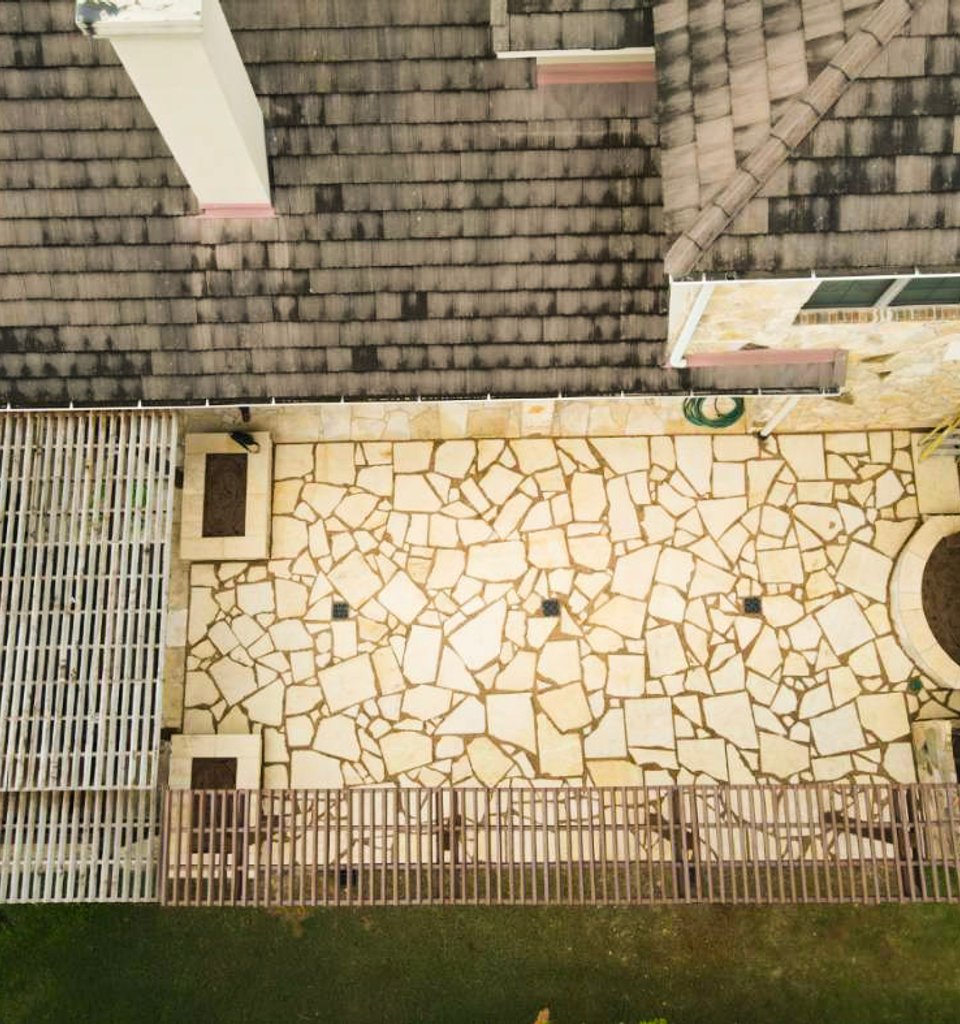 Lakeway Trellis & Patio
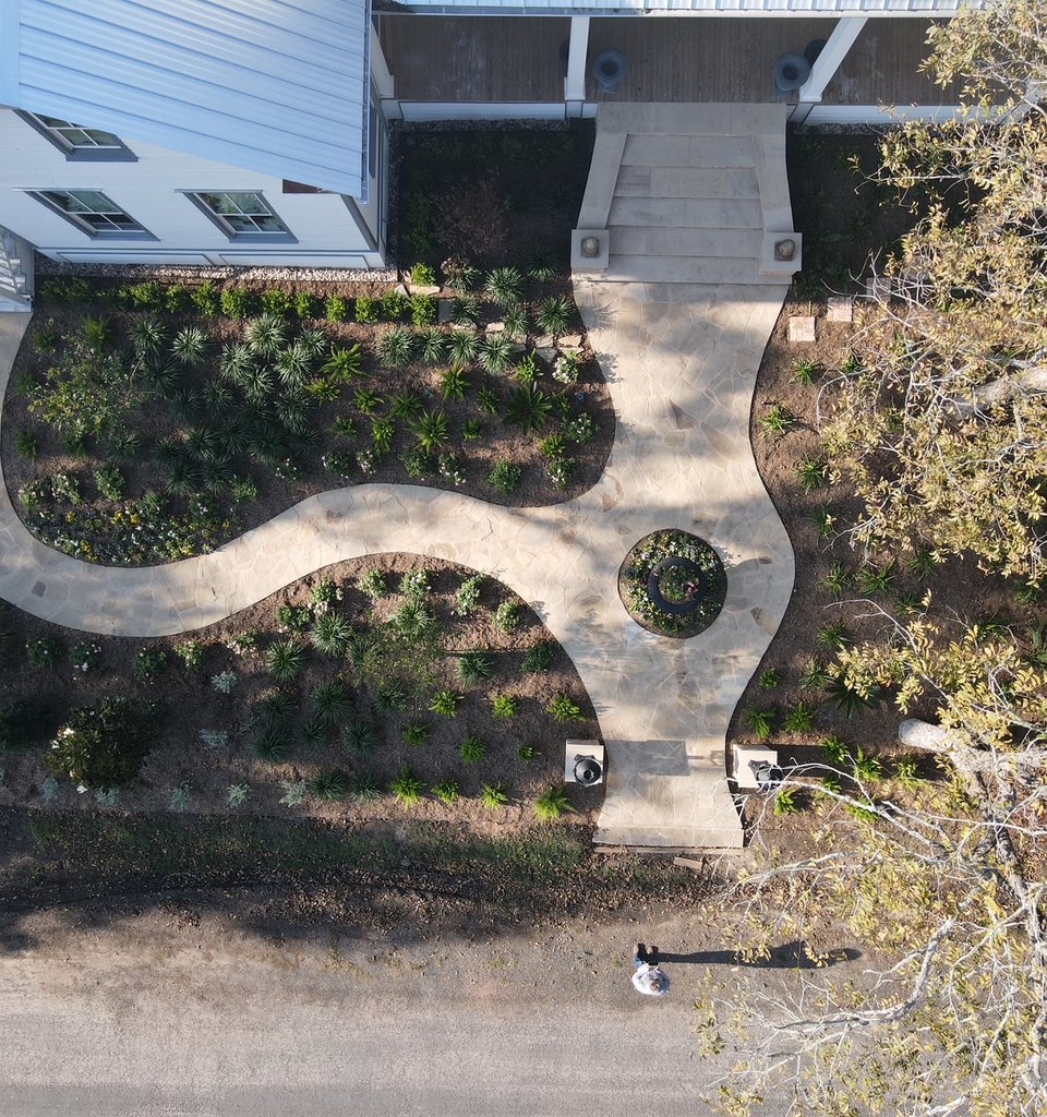 Fayetteville Garden District Style
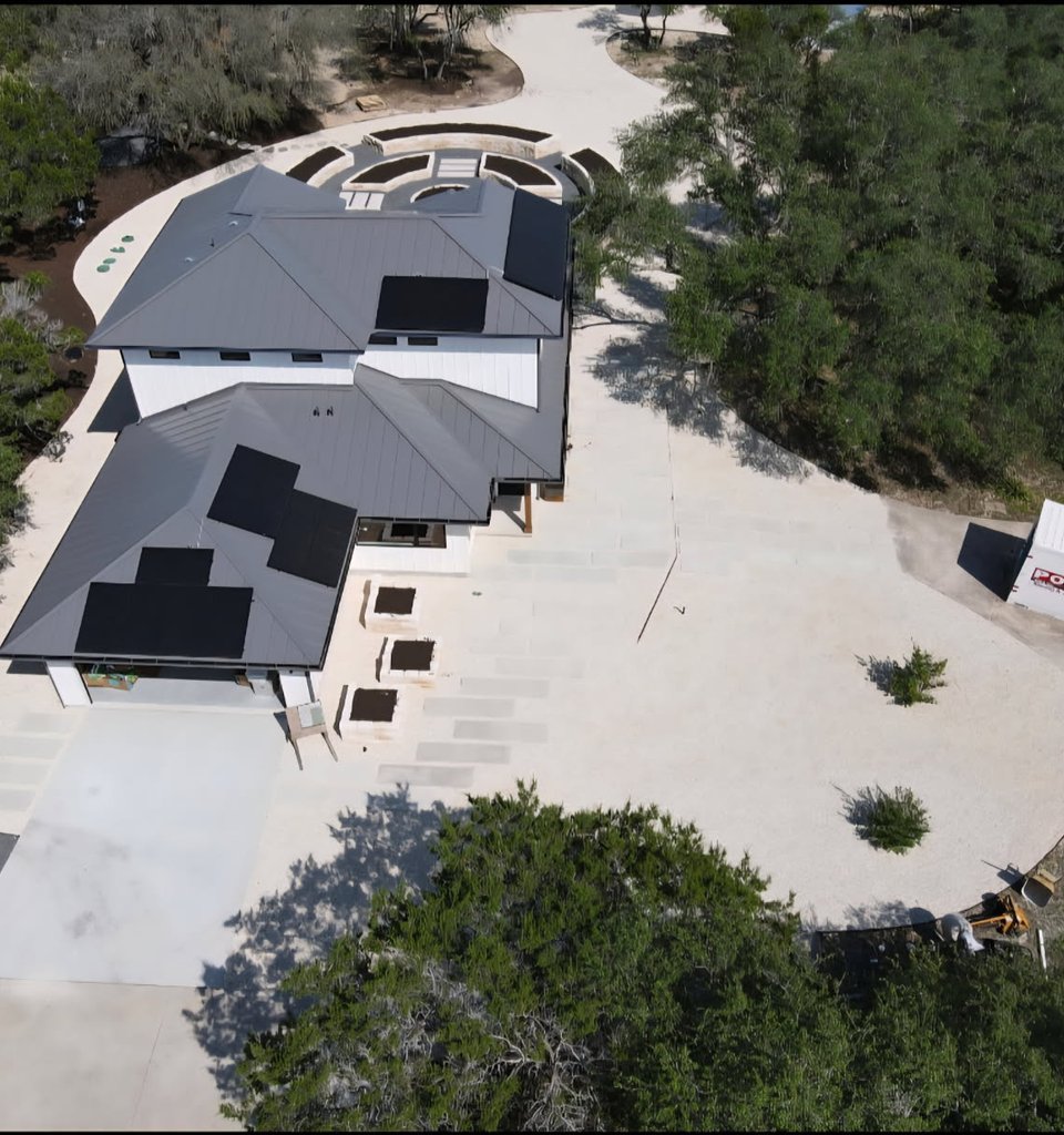 Driftwood Garden Estate
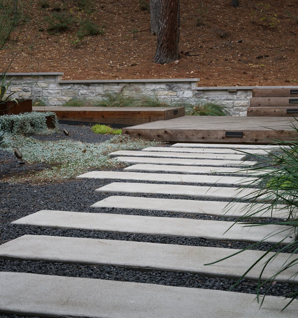 Bastrop Lost-Pines Courtyard Design
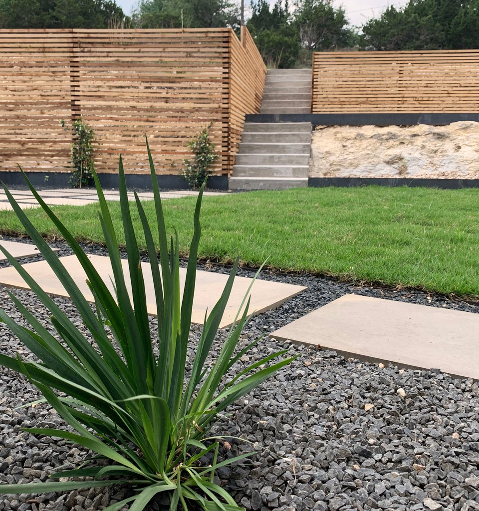 Westlake Hills Modern Terrace
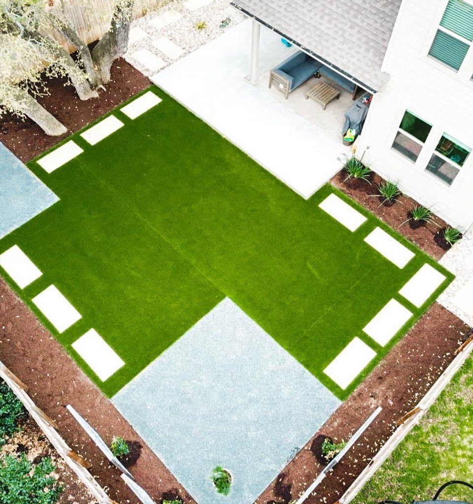 Round Rock Turf Checkered Garden
 Steiner Ranch Outdoor Kitchen & Pool Retreat
 Shoal Creek Terrace Revival
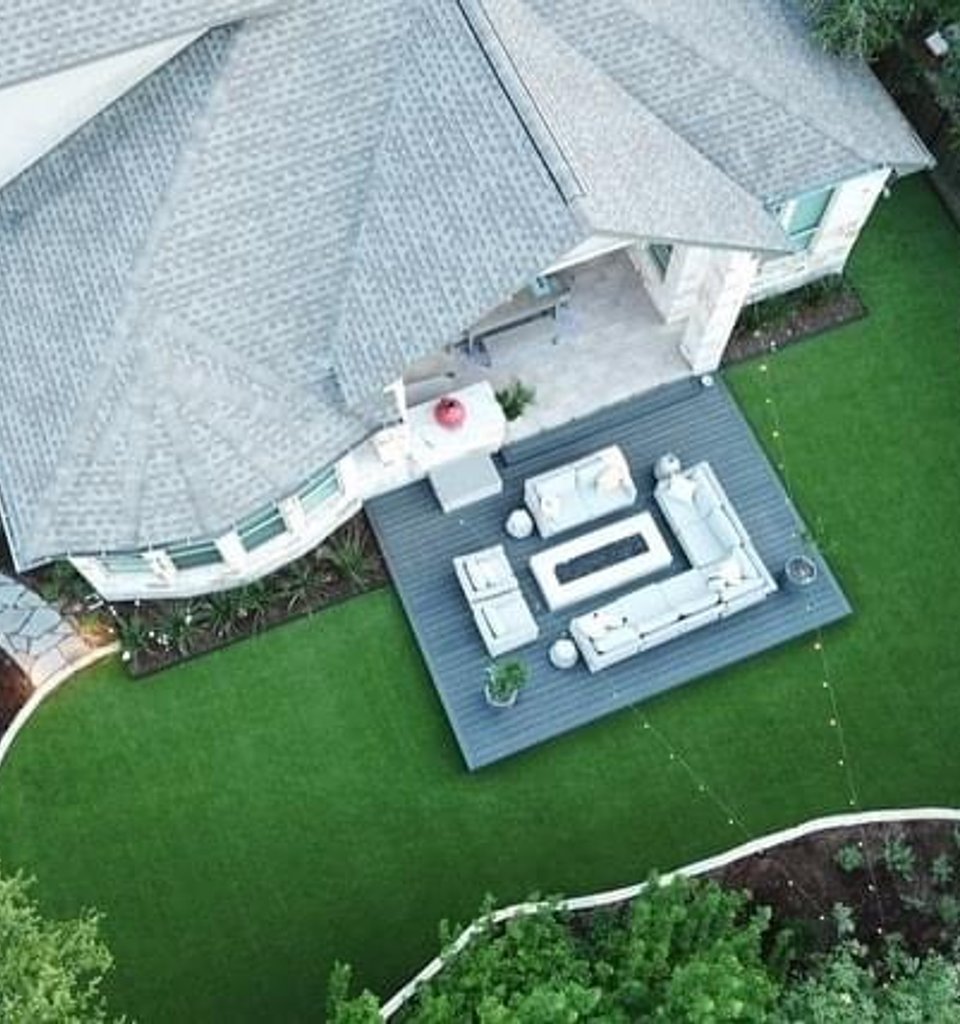 Bee Cave Backyard Under the Oaks
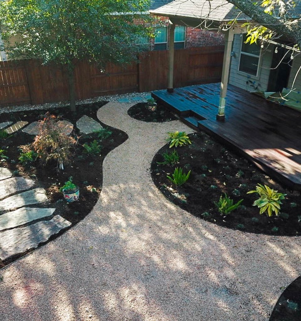 Riverplace Shaded Garden Escape
Frequently Asked Questions
Architecture designs the building. Site planning decides where that building sits on the parcel and how everything around it works together. We map driveway approach, garage orientation, septic field, well location, outbuildings, viewshed, tree protection zones, grading, and drainage before the slab is poured. The architect designs the house. We make sure the house, drive, utilities, and outdoor spaces actually fit the land. On most custom Austin builds the two disciplines work side by side.
Yes, and we prefer to be brought in early. The cheapest time to move a foundation, redirect a driveway, or save a heritage live oak is on paper. We sit in design meetings with your architect and builder, share grading and tree protection drawings, and flag conflicts before they become change orders. Most of our custom-build clients loop us in right after the site is purchased.
Inside Austin city limits, the heritage tree ordinance protects certain species at 19 inches DBH (diameter at breast height) and above, including live oak, pecan, bald cypress, and others. You generally cannot remove a heritage tree without city approval. Site planning identifies every protected tree on the parcel, draws its critical root zone (CRZ), and arranges the house, drive, and utilities to respect those zones. Catching a heritage oak before it shows up in the construction path saves months of review. See the City of Austin trees and development page for the current rules.
West of MoPac and across much of western Travis County, parcels sit over the Edwards Aquifer Recharge Zone. That triggers strict impervious cover caps on driveways, patios, roof footprints, and pool decks. Site planning quantifies impervious cover at concept stage so the project does not exceed allowable coverage at permit. We coordinate with the Austin Watershed Protection Department and consider pervious paving where it helps the math work.
We handle the landscape and grading side of floodplain coordination. If your parcel touches a FEMA flood zone, a creek easement, or a Travis County drainage corridor, we draw the site plan to keep structures, septic, and drives outside the regulated area. For the engineering and permit submittal itself we work with a licensed civil engineer or floodplain administrator, then implement their grading and drainage requirements in the site plan.
Yes, and it is one of the most common reasons clients call us. If you might add a casita, pool, workshop, or detached garage later, we plan utility stubs, setbacks, sun exposure, and pad locations now. That keeps Phase 1 from blocking Phase 2. We also factor in the heritage tree footprint and impervious cover budget so the future build does not run into a wall.
No. A stamped boundary or topographic survey is produced by a licensed Texas surveyor. We work from your survey, or we recommend a surveyor we trust if you do not have one yet. Our site plan is a scaled landscape and arrangement drawing built on top of that survey. For permit submittal, your engineer or surveyor provides the stamped sheets and we provide the site planning and landscape drawings that sit alongside them.
Call (737)-321-7812 or use the contact form. We schedule a site walk at the property, usually within one business week. Bring your survey if you have one, plus any architect concepts or builder estimates. The walk takes about an hour and a half. We map heritage trees, note slope and drainage, check for recharge zone status, and discuss how you want to use the land. After the walk you receive a written scope and flat site planning fee.
Plan The Site Before You Pour The Slab
Start with a site walk. We will map heritage trees, slope, drainage, and recharge zone status, then come back with a flat-fee site planning proposal built around your parcel and how you want to live on it. See all landscape design services or call us to get started.